Reading Topographic Maps
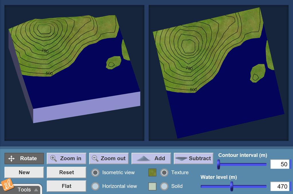
Understand how topographic maps work by creating a three-dimensional landscape and observing the corresponding contour lines. See how mountains, depressions, valleys and cliffs are represented on topographic maps. Fill in the landscape with water to demonstrate that contours are lines of constant elevation.
Launch GizmoReading Topographic Maps
Understand how topographic maps work by creating a three-dimensional landscape and observing the corresponding contour lines. See how mountains, depressions, valleys and cliffs are represented on topographic maps. Fill in the landscape with water to demonstrate that contours are lines of constant elevation.
5 Minute Preview
Use for 5 minutes a day.